

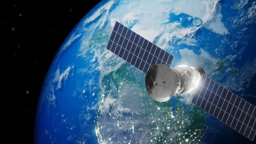
Scientists at Los Alamos National Laboratory in collaboration with the US Air Force Academy have developed a groundbreaking device that can measure the speed of satellites in space in real time. This innovative technology, called the Spacecraft Speedometer, promises to significantly reduce the dependence of spacecraft on ground-based radar and the GPS system.
Autonomy for satellites
To date, determining the position and speed of satellites has depended largely on their contact with ground stations or GPS, processes that can take hours or even days. In addition, GPS becomes unreliable during periods of intense solar activity, precisely when accurate tracking is crucial to avoiding collisions with space debris.
The need for autonomous tracking solutions is becoming even more urgent as low Earth orbit (LEO) fills with an exponentially increasing number of satellites: from about 2,287 in 2019, to over 10,000 in 2024. In this context, the ability of a satellite to measure its own speed in real time is considered a crucial step for orbital safety and collision avoidance.
How the Space Speedometer Works
Project leader Carlos Maldonado of Los Alamos’ Space Science and Applications group explains that the new device is based on an intuitive physical phenomenon. He likens the mechanism to a car driving in heavy rain: the windshield (the front part) receives many more drops of water, and with greater intensity, than the rear. Correspondingly, the space speedometer measures the flow of charged particles (ions and electrons) of the Earth’s upper atmosphere through two tiny plasma sensors, one facing forward (ram sensor) and one facing backward (wake sensor).
The forward sensor detects more particles and with higher energy, while the rear sensor detects fewer and lower energy. By comparing the data, the satellite calculates its speed accurately and without delay.
Multiple applications and advantages
In addition to speed, this device offers additional analysis of the local space environment, such as the satellite’s electrical charge. This information helps prevent electrical malfunctions or damage caused by charge accumulation. Furthermore, the fact that it does not depend on GPS makes it particularly useful in missions to other planets or in conditions of intense solar activity, where the GPS signal is either non-existent or significantly altered.
This technology is already in the process of being patented, while it has not yet been announced when it will be integrated into active space missions. However, experts estimate that it could be a crucial tool for managing space traffic and protecting satellite infrastructure.
A small step for technology, a giant leap for safety in space As space becomes increasingly populated, solutions like the Spacecraft Speedometer are expected to play a central role in preventing collisions, extending the lifespan of satellites and, ultimately, in the sustainable presence of humanity in Earth orbit and beyond.
The form of the cloud is a crescent and is located at the end of the so-called Local Bubble, a warm plasma cavity, surrounded by a layer of colder gases and dust in which our solar system is located. The astral areas located on the surface of this bubble are considered to act as “mavineyards” for the birth of stars.